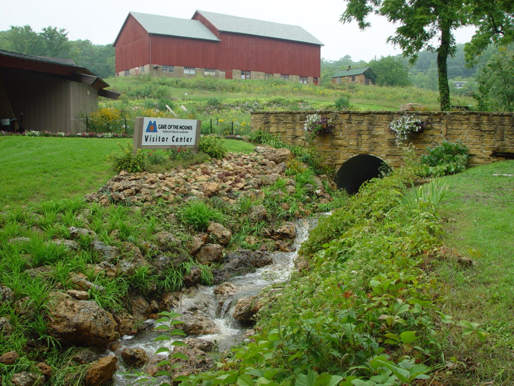
The Big Red Barn was built in 1883 by J.R. Brigham, Ebenezer’s nephew. When Ebenezer passed away in 1861, having no heirs, he left his land to his niece, H.G. Bliss, and his nephew, J.R. Brigham. Charles Brigham, J.R.’s son, attended the University of Wisconsin in Madison for agriculture. Originally, Charles had planned to teach but after a year in Colorado, he returned home to start a dairy farm.
This farm was used as a dairy farm for decades. From 1907 to 1911, Mr. Brigham turned in detailed reports and statistics on his farm operations to the U.S. Department of Agriculture which contributed to early studies of dairying, breeding, and farm management. These reports constituted the first of their kind.
Today this barn is used as a classroom for field trips and lectures.
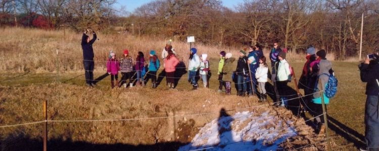
Brigham Sinkhole is named after a settler here named Ebenezer Brigham. When he and many of the other villagers here in Blue Mounds found this sinkhole, they used to throw trash in it and watch it disappear. After a while, they realized their mistake and stopped this action. Then in the late 20th century, a team worked to clear out the trash from this sinkhole and found numerous bottles and artifacts. Many were kept for the Cave of the Mounds archives.